Trips Places Foods Stories Newsletters
Loading...
Loading...
Loading...
Loading...

No search results found for
“”

Make sure words are spelled correctly.

Try searching for a travel destination.

Places near me Random place

Popular Destinations

  • Paris
  • London
  • New York
  • Berlin
  • Rome
  • Los Angeles
Trips Places Foods Stories Newsletters
Sign In Join
Places near me Random place
All Belgium Geographic Center of Belgium
AO Edited

Geographic Center of Belgium

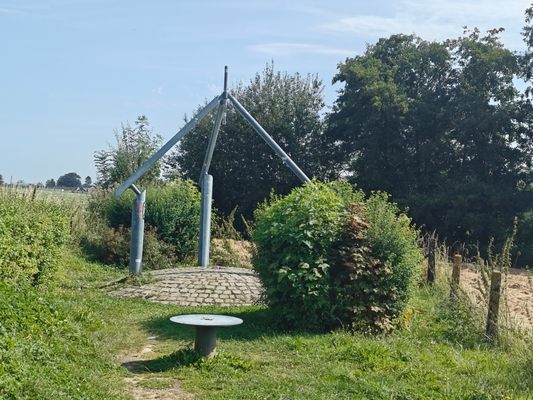
This metal monument marking the middle of Belgium represents three regions coming together to form one country.

Walhain, Belgium

Added By
CoolCrab
Email
Been Here
Want to go
Added to list
CAPTION
Monument to the geographic center of Belgium   CoolCrab / Atlas Obscura User
  CoolCrab / Atlas Obscura User
  CoolCrab / Atlas Obscura User
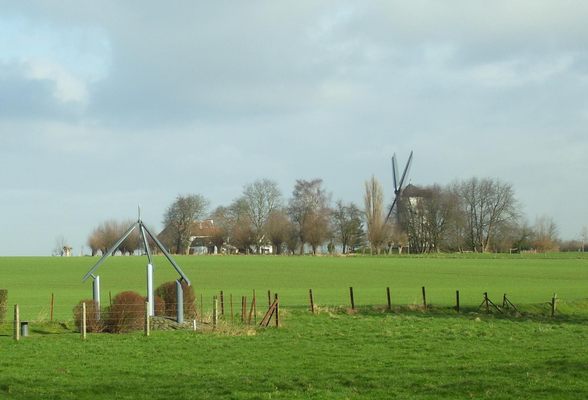
The monument stands in a field in the Walloon region   LLN / CC BY-SA 3.0
Been Here
Want to go
Added to list

About

Extreme points of countries used to have important roles as border points or navigational landmarks, but these days they serve primarily as attractions. The geographic center of Belgium is a prime example of that giving life to an otherwise quiet Walloon town.

This monument at the midpoint was built by a local architect in 1998. It is an open pyramid that stands on top of a hill, and each of its aspects has a special meaning. The base represents the Earth's crust, and the pylons represent the three regions of Belgium: the Flemish region, the Brussels-Capital region, and the Walloon region. All three of them come together into one whole by means of the triangle.

Next to the midpoint are three signs with the same information in the three main languages of the country: Dutch, French, and German. 

Related Tags

Maps Monuments Geography Geographic Markers

Know Before You Go

The point is freely accessible by car and by public transportation. It has a parking lot. 

Community Contributors

Added By

CoolCrab

Edited By

Michelle Cassidy

  • Michelle Cassidy

Published

September 10, 2024

Edit this listing

Make an Edit
Add Photos
Sources
  • https://www.destinationbw.be/en/fiche/discovery-and-recreation/geographical-centre-of-belgium-walhain_TFOALD-1H-000S2K/
Geographic Center of Belgium
Walhain, 1457
Belgium
50.640168, 4.666682

Nearby Places

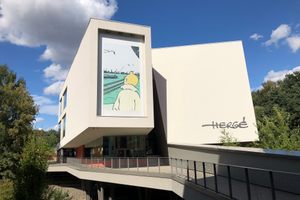
Musée Hergé (Hergé Museum)

Ottignies-Louvain-la-Neuve, Belgium

miles away

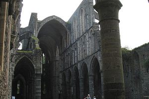
Abbaye de Villers

Genappe, Belgium

miles away

Brian Johnson Statue

Namur, Belgium

miles away

Explore the Destination Guide

Photo of Belgium

Belgium

Europe

Places 204
Stories 12

Nearby Places

Musée Hergé (Hergé Museum)

Ottignies-Louvain-la-Neuve, Belgium

miles away

Abbaye de Villers

Genappe, Belgium

miles away

Brian Johnson Statue

Namur, Belgium

miles away

Explore the Destination Guide

Photo of Belgium

Belgium

Europe

Places 204
Stories 12

Related Places

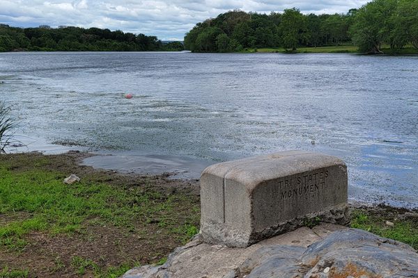
  • Tri-States Monument and Delaware River

    Port Jervis, New York

    Tri-States Monument

    A pair of 19th-century granite markers symbolically record where the state boundaries of New York, New Jersey, and Pennsylvania intersect.

  • 49th Parallel North Monument in Prešov, Slovakia

    Prešov, Slovakia

    49th Parallel North Monument

    A quirky monument to the 49th parallel in downtown Prešov, Slovakia.

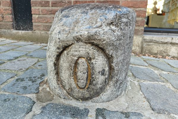
  • Leuven, Belgium

    Middelpunt van Leuven

    This unassuming stone bollard is a centuries-old marker denoting the center of the city.

  • Buggenhout, Belgium

    Middelpunt van Vlaanderen

    The geographic midpoint of the Dutch-speaking part of Belgium.

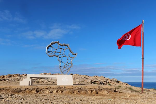
  • Ras Angela

    Ras Angela, Tunisia

    Ras Angela

    The northernmost point of continental Africa—or is it?

  • North face of the monument.  170 miles, 47 chains from Oregon to here.  A “chain” is 66 feet, so there are 80 chains in a mile.

    Verdi, Nevada

    Von Schmidt Monument

    An iron monument on the 120th meridian as surveyed, one of only four marking the boundary between Nevada and California north of Lake Tahoe.

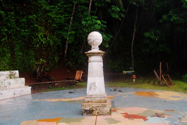
  • Marco do Equador on Ilhéu das Rolas

    Ilhéu das Rolas, São Tomé and Príncipe

    Marco do Equador

    The equator passes through this tiny island in the eastern Atlantic.

  • Piazza San Rufo, with the marker in the foreground.

    Rieti, Italy

    Umbilicus Italiae

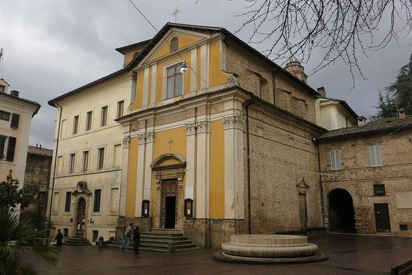
    The disputed geographic center, or "navel," of Italy.

Aerial image of Vietnam, displaying the picturesque rice terraces, characterized by their layered, verdant fields.
Atlas Obscura Membership

Become an Atlas Obscura Member


Join our community of curious explorers.

Become a Member

Get Our Email Newsletter

Follow Us

Facebook YouTube TikTok Instagram Pinterest RSS Feed

Get the app

Download the App
Download on the Apple App Store Get it on Google Play
  • All Places
  • Latest Places
  • Most Popular
  • Places to Eat
  • Random
  • Nearby
  • Add a Place
  • Stories
  • Food & Drink
  • Itineraries
  • Lists
  • Video
  • Podcast
  • Newsletters
  • All Trips
  • Family Trip
  • Food & Drink
  • History & Culture
  • Wildlife & Nature
  • FAQ
  • Membership
  • Feedback & Ideas
  • Community Guidelines
  • Product Blog
  • Unique Gifts
  • Work With Us
  • About
  • FAQ
  • Advertise With Us
  • Advertising Guidelines
  • Privacy Policy
  • Cookie Policy
  • Terms of Use
Atlas Obscura

© 2025 Atlas Obscura. All Rights Reserved.